Over the Hai Van Pass to the coves below
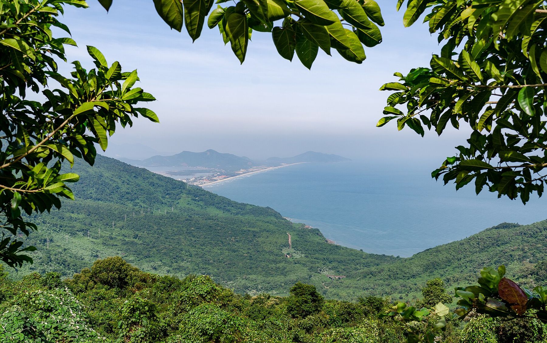
Where the mountains run into the sea, an old road climbs through forest and cloud to a gate at the top, with one bay on each side and small coves far below.
i
Steffen Schmitz · CC BY-SA 4.0- From the old town
- About 75 km to the top
- The water
- Varies by season
- Best months
- March to August
- Getting there
- The old road north of Da Nang
Between Da Nang and Lang Co, the Truong Son mountains push a long, high spur right down to the sea. For centuries this barrier divided the north of central Vietnam from the south, and the only way across was a narrow path over the top. Today the old road over the Hai Van Pass, the Pass of the Sea Clouds, is one of the most famous drives in the country, climbing through forest to a saddle with views over two bays.
The top of the pass lies roughly 75 km by road from Hoi An's old town, north of Da Nang.
The road
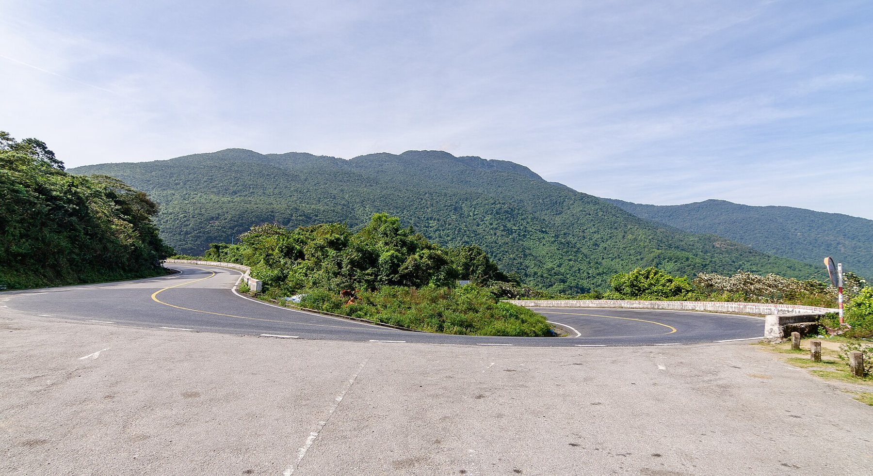
The old road leaves the coast north of Da Nang and climbs in a long series of bends up the mountainside, with the sea falling away below. On clear days, the views back over Da Nang Bay, the city and the Son Tra peninsula are spectacular. Higher up, the road enters forest, and cloud often drifts across it, which gives the pass its name.
i
Steffen Schmitz · CC BY-SA 4.0Since the tunnel opened under the mountain in the 2000s, most trucks and buses use the tunnel, and the old road is much quieter, used mainly by sightseers, cyclists and motorbikes. It is still a mountain road, with sharp bends, steep drops, occasional potholes and other vehicles cutting corners. Drive or ride slowly, and stop only in safe places.
The gate at the top
At the top of the pass stand the remains of an old fortified gate and later military buildings, from different periods of history. The gate marks the old boundary between regions, and the fortifications have been partly restored. From around them, the views open in both directions: south to Da Nang Bay and the city, north to the beach and lagoon at Lang Co.
The top is often busy with sightseers, and stalls sell drinks and snacks in general terms. Cloud can sit over the summit even when the coast below is clear, so if it is socked in, wait a while: it can lift quickly.
The railway on the cliffs
The north-south railway does not cross the pass but runs around the headland on a ledge cut into the cliffs above the sea, through short tunnels and over bridges. The stretch between Da Nang and Lang Co is one of the most scenic on the whole line. Taking the train along this section, in either direction, is a fine alternative to the road, with the sea directly below the windows on the seaward side.
Coves at the foot
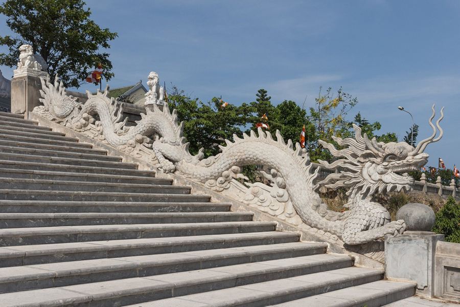
The mountains drop straight into the sea along much of the headland, but at their foot lie small coves and beaches. On the Da Nang side, the northern shore of the bay has quieter beaches than the city, in general terms, and fishing villages where boats are drawn up on the sand. On the Lang Co side, the long beach of the spit begins at the foot of the descent. Few of these coves have lifeguards; swim only in calm conditions.
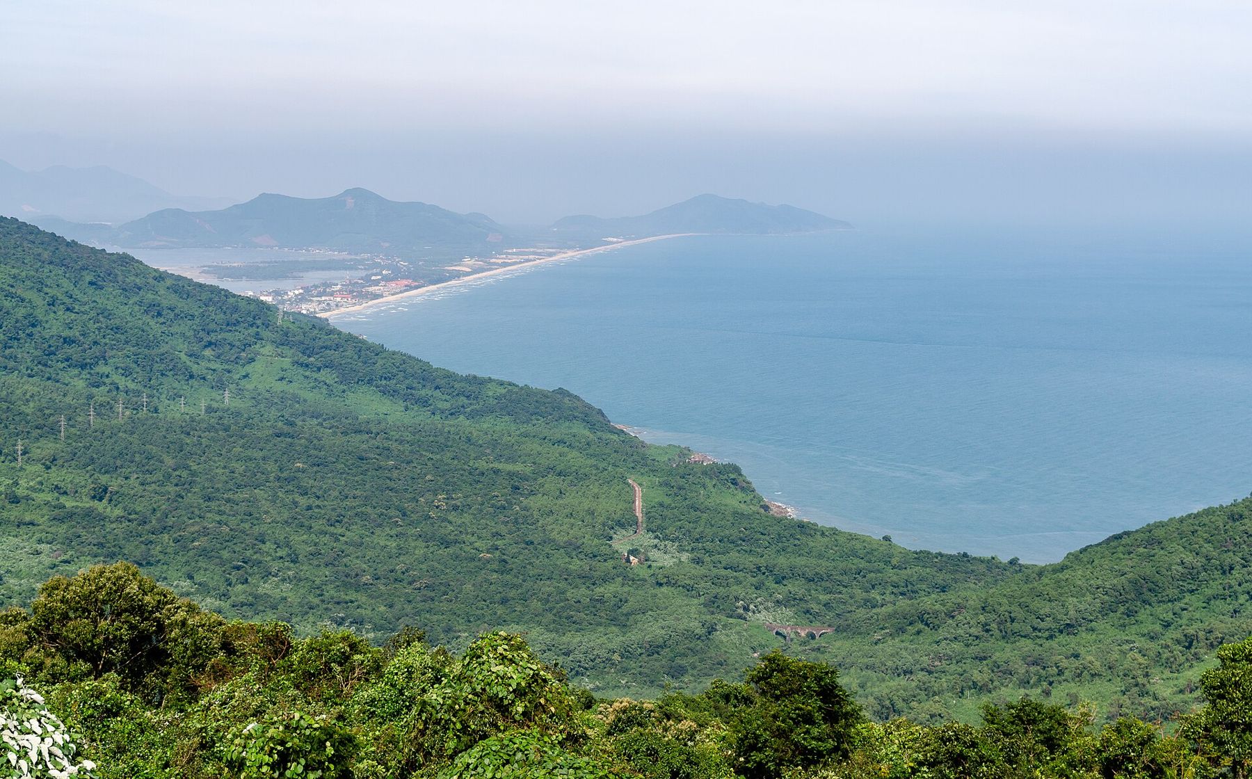
On a clear morning, the view from the top takes in the whole sweep of Da Nang Bay to the south and the sand spit at Lang Co to the north: two coasts in one glance.
Allow at least an hour each way for the pass road with stops, and longer if you plan to linger at the top.
Tunnel or pass
If you are travelling between Hoi An or Da Nang and Hue, you have a choice: the tunnel, which is faster and avoids the climb, or the pass, which adds time but gives the views. Many travellers hire a driver or a motorbike with a driver for the pass and stop at the top. In the rainy months, from about September to the early winter, the pass is often wet and shrouded, and landslides can affect the road; the tunnel is the sensible choice then.
i
Steffen Schmitz · CC BY-SA 4.0The pass has a long history as a frontier. For centuries it marked a boundary between kingdoms and cultures, and the fortified gate at the top, rebuilt in different periods, controlled the road between them. In the twentieth century, soldiers of several armies held the summit, and the concrete bunkers that remain date from those years. Today the gate is a place for photographs, but its position, high above two bays on the only route between them, explains why so many people wanted to hold it.
For cyclists, the pass is a classic climb, steady rather than brutal, with the reward of the long descent on the far side. Start early to avoid the heat and the traffic, carry water, and check your brakes before the descent.
Safety on the pass
- Ride or drive within your limits: the bends are sharp and the drops are real.
- Wear a proper helmet on a motorbike, and riding gear if you have it.
- Avoid the pass in heavy rain, fog or after dark.
- Bring a layer: the top is cooler and windier than the coast.
On the north side, the road descends to the beach and the lagoon at Lang Co, described in Lang Co. On the south side, it leads back towards Da Nang, where the forested Son Tra peninsula, covered in Son Tra: coves under the forest, guards the other side of the bay.