Cua Dai: the beach the sea took back
For years, Cua Dai was the beach everyone in Hoi An meant. Then the sea began to take it: palms, sand and buildings lost within a decade, and a coast that is still being fought over.
i
Dragfyre · CC BY-SA 3.0- From the old town
- About 5 km
- The water
- Varies by season
- Best months
- March to August
- Getting there
- Cua Dai road east from Hoi An
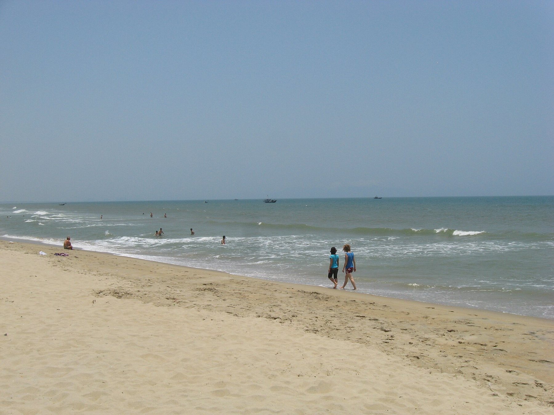
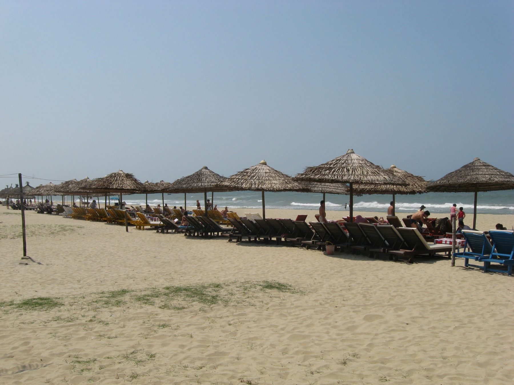
Ride east from Hoi An's old town along the road beside the Thu Bon river, and after a few kilometres you reach the sea at Cua Dai, where the river meets the South China Sea. For a long time this was Hoi An's beach: a broad sweep of white sand backed by palms and casuarinas, with seafood shacks and deckchairs, and the Cham Islands floating on the horizon. Many people who visited Hoi An in the 1990s and early 2000s remember it that way.
Visitors who come today find a different place. Over little more than a decade, the sea ate away much of the beach. Trees toppled, buildings were undermined, and long stretches of sand disappeared. Cua Dai became one of the most striking examples of coastal erosion in Vietnam, and the story of its loss explains much about how this coast works and how to choose a stretch of it.
What happened
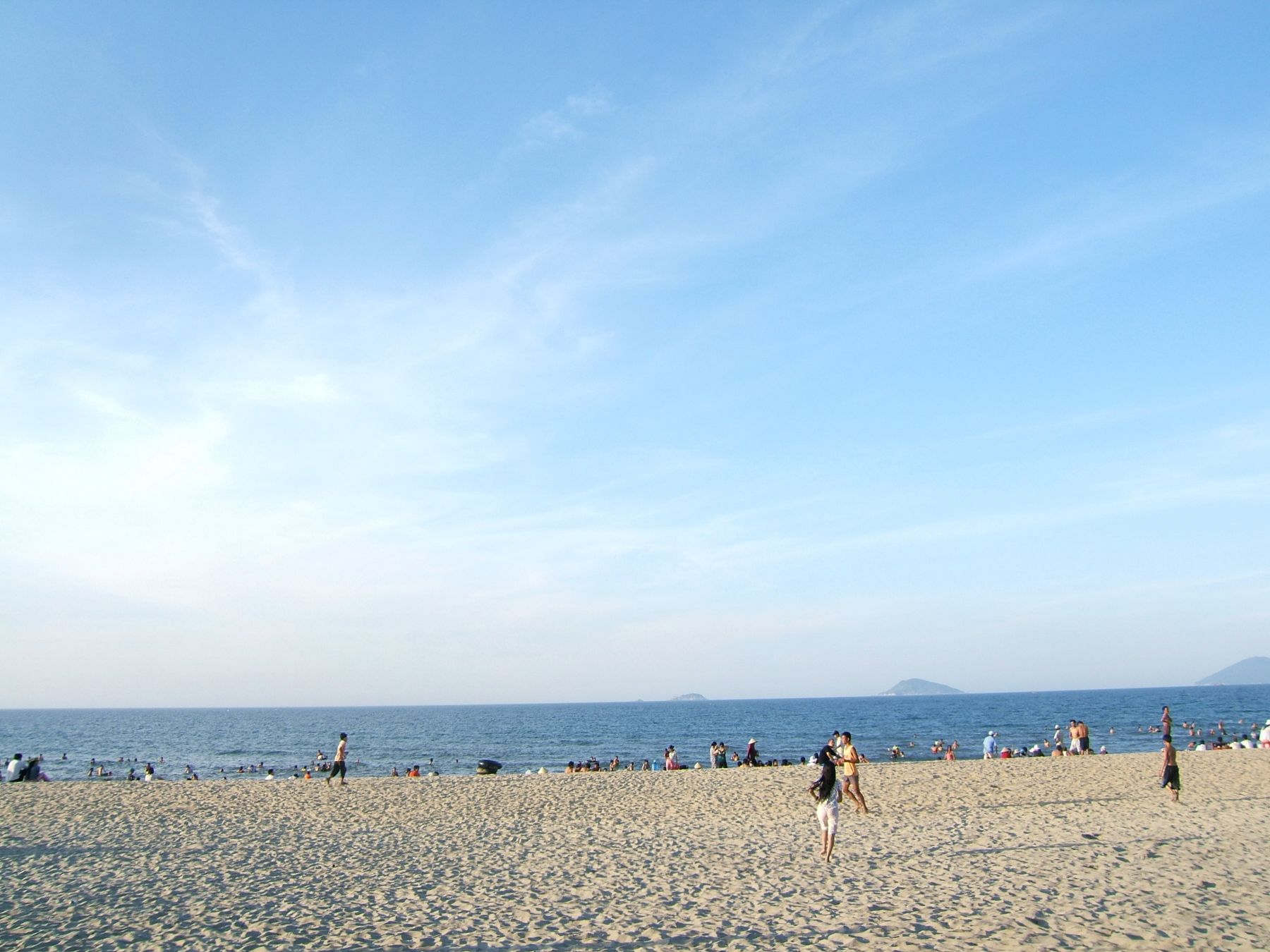
Erosion at Cua Dai became severe from around the late 2000s. Storms in the rough season stripped sand from the beach, and in the calm months it no longer came back as it once had. Rows of palms fell into the sea, the beach in front of several large properties vanished, and the sea reached the edges of the coast road in places. Photographs from those years show sandbags piled against collapsing walls and trees lying in the surf.
i
Viethavvh at vi.wikipedia · Public domainThe causes were debated, as they usually are with erosion. Scientists and officials pointed to a combination of factors: changes to the supply of sediment from the Thu Bon river, including the effect of dams and sand mining upstream; construction close to the shore; storms and rising seas; and the natural shifting of a river mouth. No single cause explains it, and the balance between them is still discussed.
Holding the line
Over the following years, the authorities and property owners fought back. Sandbags, rock walls and breakwaters were built along the shore; sand was brought in to rebuild parts of the beach; and offshore structures were added to reduce the force of the waves. Some stretches have partly recovered, others remain narrow or lined with defences, and the shore continues to change from season to season.
Walking the beach today is a lesson in how dynamic coasts are. In places you will find open sand and families swimming; in others, a wall of sandbags or rock where the beach used to be. The picture is different every year, so any description, this one included, is a snapshot.
Why An Bang took its place
As Cua Dai shrank, the fishing village of An Bang, a few kilometres north, became the beach that people rode to from Hoi An. Its sand held up better, though it too has been affected by erosion and defences. Today, An Bang is the busiest beach near the town, as described in An Bang: the beach closest to the old town, and the quieter sand further north at Ha My has become an alternative.
The picture is different every year, so any description, this one included, is a snapshot.
i
Dragfyre · CC BY-SA 3.0How to read a beach before choosing it

The lesson of Cua Dai is that a beach in a photograph may not be the beach you find. Before choosing a place to stay by the sand anywhere on this coast:
- Look for recent photos, ideally from the last season, taken by visitors rather than by the property itself.
- Look at maps and satellite views to see how much sand lies in front of the buildings.
- Read recent reviews for mentions of sandbags, walls, narrow beaches or construction.
- Think about the season: in the rough months, beaches narrow and can be closed.
- Ask directly how far it is to swimmable sand.
The other questions to ask are gathered in seven ways to choose a base by the sand.
i
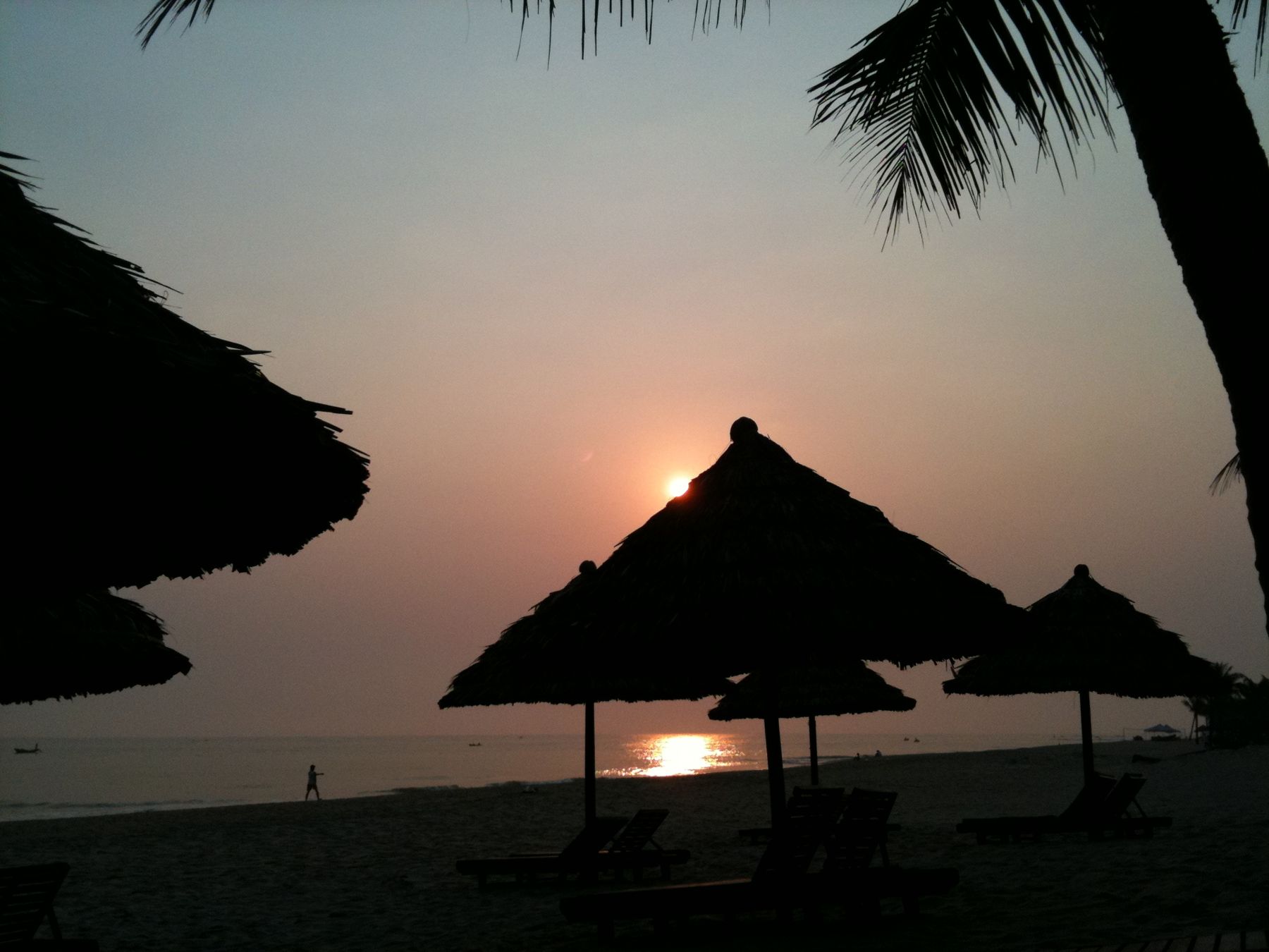
Dragfyre · CC BY-SA 3.0For travellers, the practical lesson is simple: what a beach looked like ten years ago, or even last year, may not be what you find. The coast here is alive, and every stormy season redraws it. Choosing a base with that in mind avoids disappointment, and visiting Cua Dai with an understanding of what happened turns a stretch of damaged shore into one of the most instructive places on the coast.
The river road to Cua Dai is itself worth the ride: it follows the Thu Bon past fishing boats, shipyards and fields, with the water widening as it nears the sea.
If you walk the shore here, take care near the edges of the sea walls and the sandbag lines, which can be slippery and unstable after storms. Exposed rubble, old foundations and broken concrete lie in places along the beach, so keep shoes on and watch children closely. Swimming off the damaged stretches is not advised, as the currents near the river mouth are strong.
The river mouth and the islands
Cua Dai is still the gateway to the sea for Hoi An. Boats to the Cham Islands leave from the river mouth area, and the islands themselves, a protected marine area, are described in the Cham Islands. Just inland, the water coconut forest of Cam Thanh, with its basket boats, is one of the most pleasant places nearby to spend a few hours, especially on a day when the sea is too rough for swimming.
The river mouth itself is a fine place to watch the boats come and go, the fishermen at work, and the light change over the water in the late afternoon. Swimming near the river mouth is not advised: currents can be strong where the river meets the sea.
Erosion of this kind is not unique to Cua Dai. Along the whole coast of central Vietnam, and in many parts of the world, beaches are retreating as storms intensify, sea levels rise and the supply of sand from rivers changes. What made Cua Dai so striking was the speed of the change and the amount of building close to the shore. Its story has been studied by scientists and discussed by planners as a warning about how not to build on a moving coast.
Visiting Cua Dai today
Despite everything, Cua Dai is worth a visit. Ride out along the river road, see the river mouth and the islands on the horizon, walk the stretches of sand that remain, and understand what has happened here. It is one of the clearest places in Vietnam to see the power of the sea and the cost of a changing coast, and it will make you look at every other beach on this shore with fresh eyes.