When the sea lies down
Roughly spring to late summer
- Flatter mornings and warm water: the season most people come for.
- Boats to the Cham Islands run more reliably.
- Midday sun is fierce, so shade matters more than sea view.
When it stands up
Roughly autumn into early winter
- The rainy months bring big swell and red flags; storms can close the beaches for days.
- Island boats are often cancelled, so check before you travel.
- Walking the empty sand is the reward; swimming often isn't safe.
Around a hundred kilometres of shoreline, and which stretch to sleep beside
Central Vietnam's coast runs almost unbroken from the lagoon at Lang Co, over the Hai Van Pass, along Da Nang's city beaches and down to the river mouth below Hoi An. Every stretch suits a different trip. This guide goes beach by beach, so you can choose where to stay by the sand.
Start at the river mouth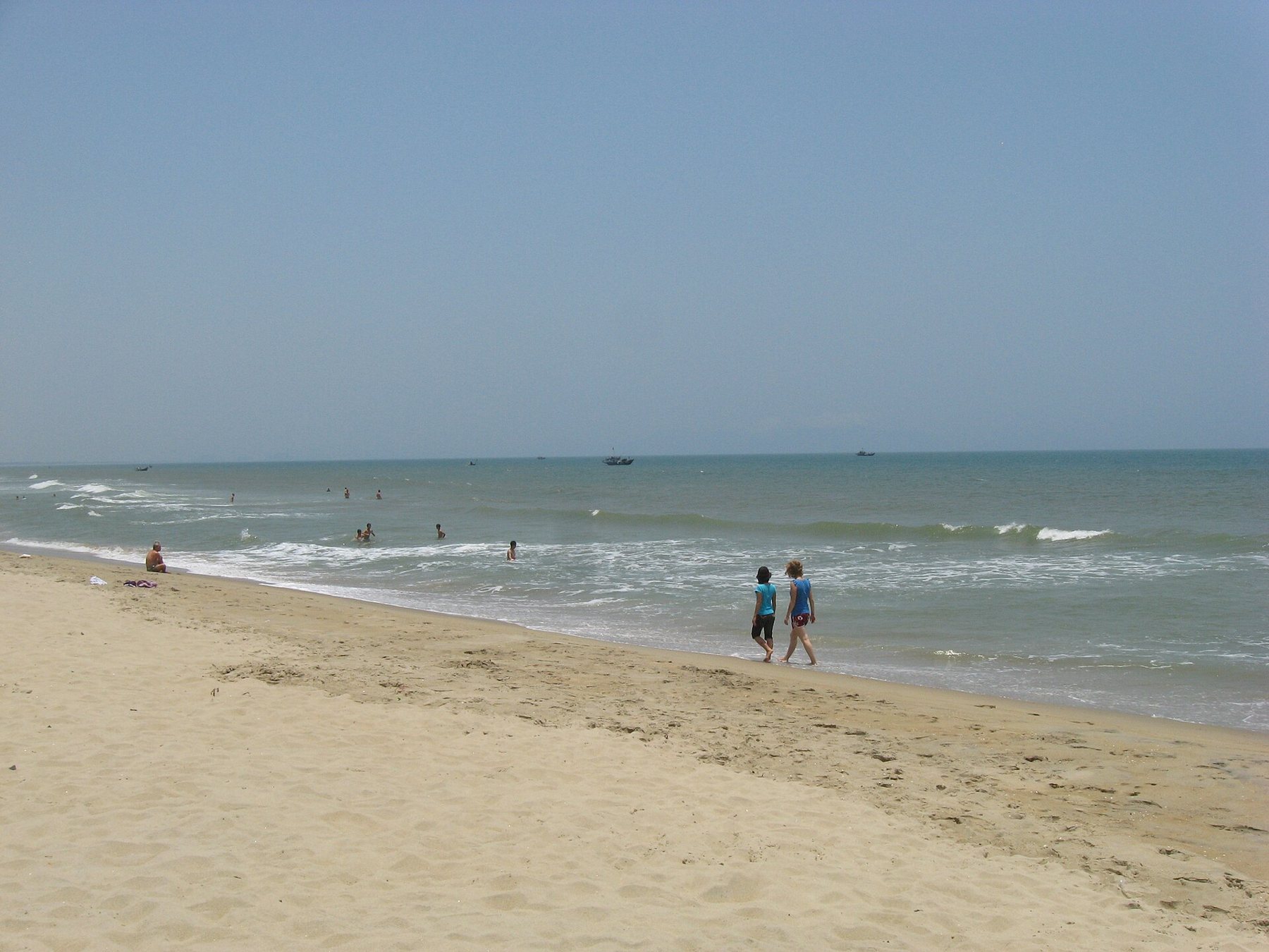
i
Dragfyre · CC BY-SA 3.0Eight samples from the shoreline
Each disc is one stretch of sand, with the rough distance by road to Hoi An's old town.
Cua Dai
About 5 kmRiver mouth, sandbags, a beach being rebuilt
An Bang
About 5 kmFine pale sand, basket boats, easy cycling
Ha My
About 9 kmFishing village edge, quieter shallows
Non Nuoc
About 18 kmUnder the Marble Mountains, long and open
My Khe
About 28 kmDa Nang's city beach, busy at sunrise
Son Tra
About 35 kmSmall coves under a forested peninsula
Lang Co
About 95 kmSand spit between lagoon and open sea
Cham Islands
About 20 km by seaClear water around a protected island group
Four questions before you pick a stretch
- Old town every evening, or sand every morning?An Bang and Cua Dai keep both within a short ride; Da Nang's beaches make the old town a day trip.
- Swimming, or walking and watching?Open city beaches have lifeguard flags; the coves on Son Tra are prettier but have fewer people watching.
- How will you get around?Bicycles work between Hoi An and its beaches. North of Non Nuoc you'll want a taxi or a motorbike.
- Which month are you coming?Outside the calm season, stay close to something to do on a stormy day.
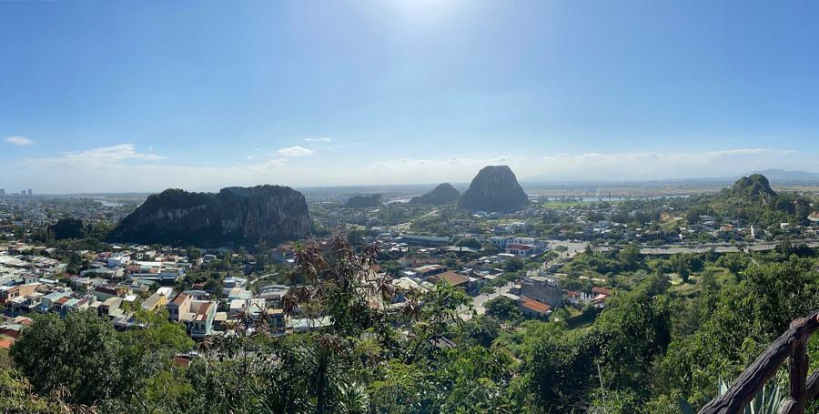
Non Nuoc beach and the Marble Mountains
Halfway between Da Nang and Hoi An, five limestone hills rise from the coastal plain, riddled with caves and pagodas, a short walk from a long, open beach.
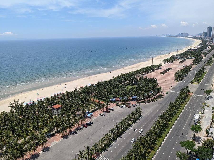
My Khe: the city beach of Da Nang
In front of Da Nang's towers, a long, wide beach of fine sand fills at dawn with swimmers, joggers and fishermen, then empties in the heat, then fills again at dusk.

Son Tra peninsula: coves under the forest
North-east of Da Nang, a forested mountain juts into the sea, ringed by small coves, watched over by a giant white statue, and home to some of the rarest monkeys in Asia.
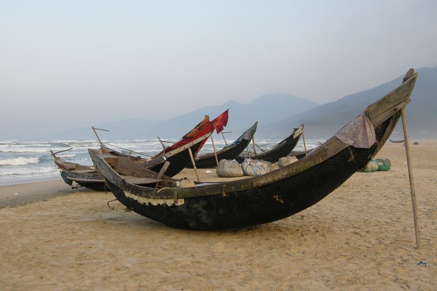
Lang Co: a sand spit between lagoon and sea
North of the Hai Van Pass, a long tongue of pale sand separates a quiet lagoon from the open sea, with forested mountains on three sides and fishing boats drawn up on the beach.
i
Chester Ho chesterho · CC0Where Cua Dai's sand went
For years Cua Dai was the beach everyone in Hoi An meant. Then the sea began taking it: whole rows of palms and much of the sand were lost within a decade, and sandbags and breakwaters went in to hold the line.
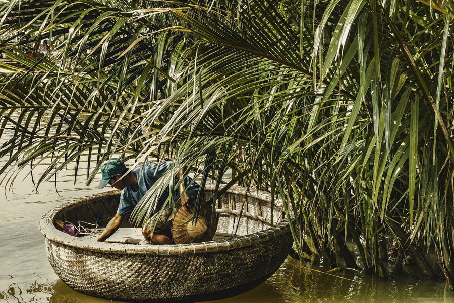
What changed, what the shore looks like now, why An Bang, a few kilometres north, became the beach people ride to instead, and how the nipa-palm waterways of Cam Thanh fit into a beach day.
Read the Cua Dai story